Skip to Content
The Map Center
The Map Center
Classes
Map Center Store
About
Contact Us
Services
Programs
Cartographers
FAQs
Projects
Press
State of the Map Store
About the Logo
Login Account
0
0
The Map Center
The Map Center
Classes
Map Center Store
About
Contact Us
Services
Programs
Cartographers
FAQs
Projects
Press
State of the Map Store
About the Logo
Login Account
0
0
Classes
Map Center Store
Folder: About
Back
Contact Us
Services
Programs
Cartographers
FAQs
Projects
Press
State of the Map Store
About the Logo
Login Account
Map Center Store US Airforce Physical-Political Global Chart of the World, 1955
PXL_20240417_202007988.jpg Image 1 of 7
PXL_20240417_202007988.jpg
PXL_20240417_200515421.jpg Image 2 of 7
PXL_20240417_200515421.jpg
PXL_20240417_201448615.jpg Image 3 of 7
PXL_20240417_201448615.jpg
PXL_20240417_201226008.jpg Image 4 of 7
PXL_20240417_201226008.jpg
PXL_20240417_201821761.jpg Image 5 of 7
PXL_20240417_201821761.jpg
PXL_20240417_202022617.jpg Image 6 of 7
PXL_20240417_202022617.jpg
PXL_20240417_202229839.jpg Image 7 of 7
PXL_20240417_202229839.jpg
PXL_20240417_202007988.jpg
PXL_20240417_200515421.jpg
PXL_20240417_201448615.jpg
PXL_20240417_201226008.jpg
PXL_20240417_201821761.jpg
PXL_20240417_202022617.jpg
PXL_20240417_202229839.jpg

US Airforce Physical-Political Global Chart of the World, 1955

$1,200.00

This was a tube tucked way in the pack, just waiting. The colors are perfect. The condition of the paper is immaculate. The projection is a dramatic stereoscopic view which makes these huge regions of earth looking like they’re right off the face of a globe. The text seems to be oriented in every direction but North-Up which also encourages the user to pivot these six images into thought-provoking new orientations. This is honestly one of my favorite finds at The Map Center.

Six sheets, each one 42”x50”

Add To Cart

This was a tube tucked way in the pack, just waiting. The colors are perfect. The condition of the paper is immaculate. The projection is a dramatic stereoscopic view which makes these huge regions of earth looking like they’re right off the face of a globe. The text seems to be oriented in every direction but North-Up which also encourages the user to pivot these six images into thought-provoking new orientations. This is honestly one of my favorite finds at The Map Center.

Six sheets, each one 42”x50”

You Might Also Like

Lost Streams of Washington DC by David Ramos 2024
$50.00
Vintage Aeronautical Chart: Cape Breton 1949
$45.00
Vintage Aeronautical Chart: Nova Scotia 1949
$45.00
Sold Out
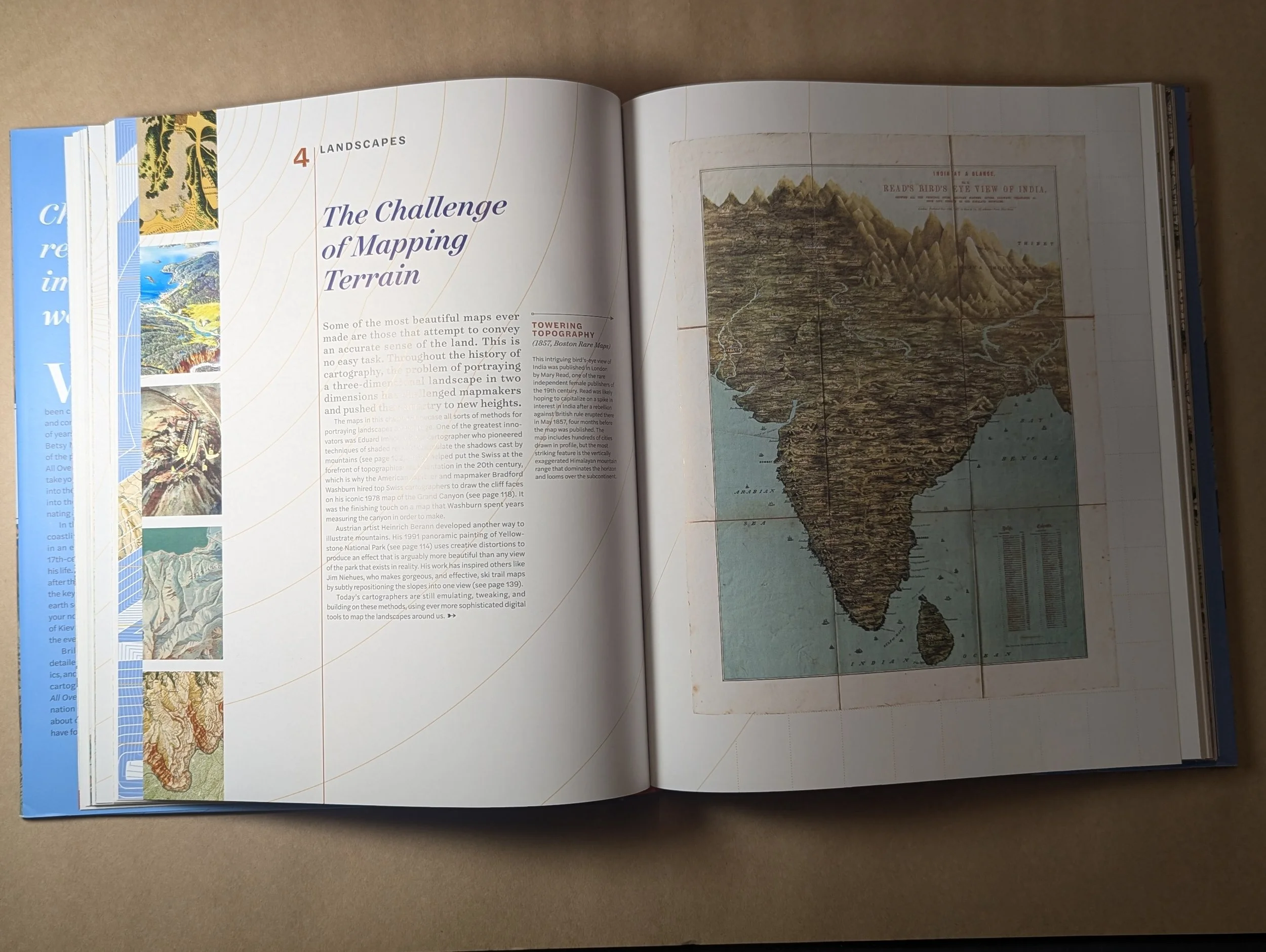
All Over the Map by Betsy Mason and Greg Miller PXL_20240918_210929781.PORTRAIT.ORIGINAL.jpg PXL_20240918_210941729.PORTRAIT.ORIGINAL.jpg
All Over the Map by Betsy Mason and Greg Miller
$50.00
PXL_20250331_145102893.jpg PXL_20250331_145102893.jpg
A History of the Railroad in 100 Maps by Jeremy Black
$40.00

Rate us on Trip Advisor

©2024 Middleton Geographics LLC, all rights reserved

Support The Map Center