Skip to Content
The Map Center
The Map Center
Classes
Map Center Store
About
Contact Us
Services
Programs
Cartographers
FAQs
Projects
Press
State of the Map Store
About the Logo
Login Account
0
0
The Map Center
The Map Center
Classes
Map Center Store
About
Contact Us
Services
Programs
Cartographers
FAQs
Projects
Press
State of the Map Store
About the Logo
Login Account
0
0
Classes
Map Center Store
Folder: About
Back
Contact Us
Services
Programs
Cartographers
FAQs
Projects
Press
State of the Map Store
About the Logo
Login Account
Map Center Store City Maps: a Coloring Book for Adults
PXL_20240401_143408969.jpg Image 1 of 3
PXL_20240401_143408969.jpg
PXL_20240919_132842783.PORTRAIT.ORIGINAL.jpg Image 2 of 3
PXL_20240919_132842783.PORTRAIT.ORIGINAL.jpg
PXL_20240919_132903766.PORTRAIT.ORIGINAL.jpg Image 3 of 3
PXL_20240919_132903766.PORTRAIT.ORIGINAL.jpg
PXL_20240401_143408969.jpg
PXL_20240919_132842783.PORTRAIT.ORIGINAL.jpg
PXL_20240919_132903766.PORTRAIT.ORIGINAL.jpg

City Maps: a Coloring Book for Adults

$10.00

Each page is an invitation to explore a new city and express your creativity. The names of the featured cities is in the index so you can color and guess what you’re looking at before you check. It’s like playing Geoguesser on steroids. Fun for kids and adults!
Made by one of the most prolific heroes of modern cartography, Gretchen Peterson.

Quantity:
Add To Cart

Each page is an invitation to explore a new city and express your creativity. The names of the featured cities is in the index so you can color and guess what you’re looking at before you check. It’s like playing Geoguesser on steroids. Fun for kids and adults!
Made by one of the most prolific heroes of modern cartography, Gretchen Peterson.
You Might Also Like

PXL_20250331_145102893.jpg PXL_20250331_145102893.jpg
A History of the Railroad in 100 Maps by Jeremy Black
$40.00
PXL_20241231_211828324.jpg PXL_20241231_211828324.jpg PXL_20241231_211828324.jpg
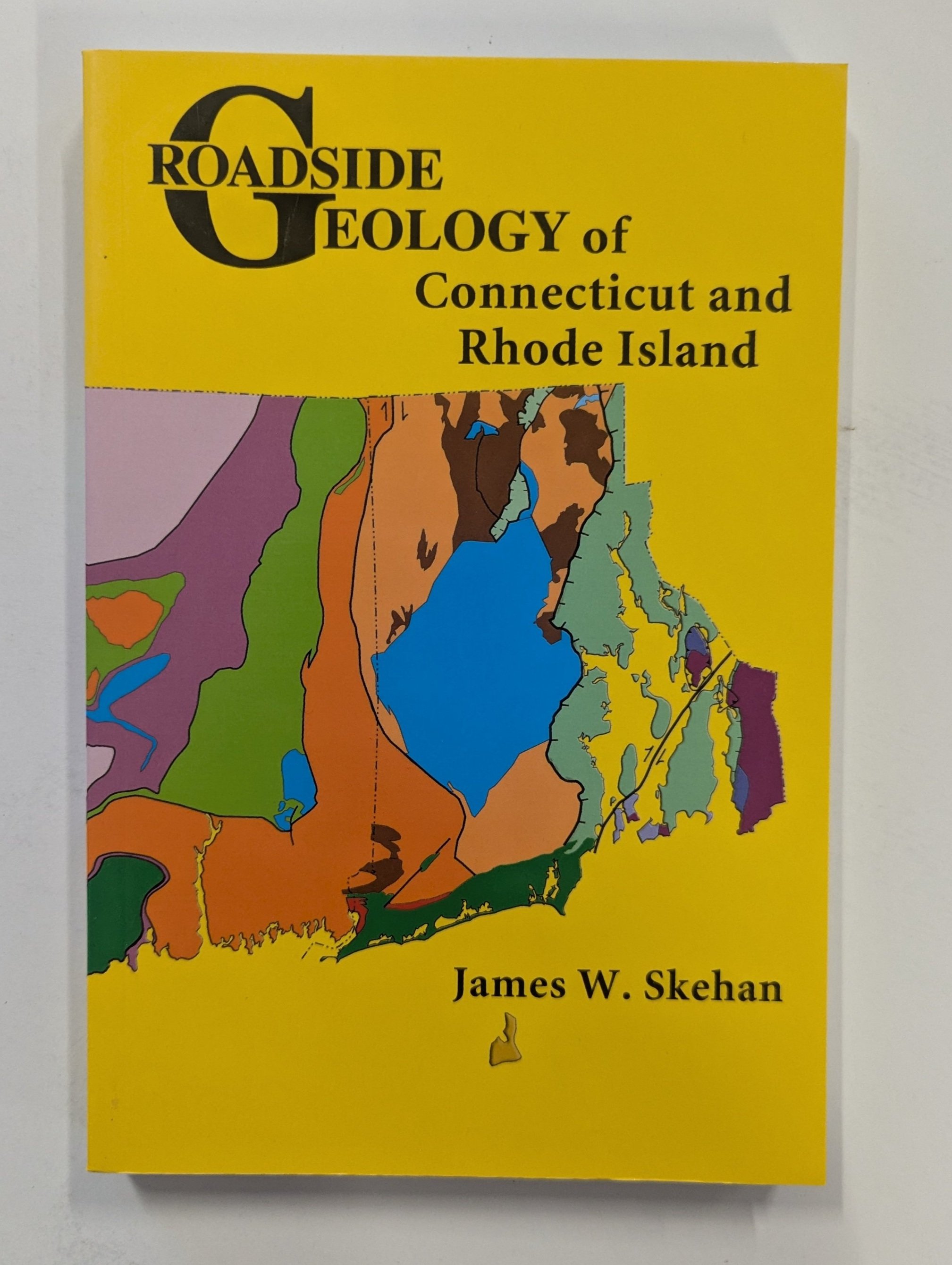
Roadside Geology: Connecticut and Rhode Island
$26.00
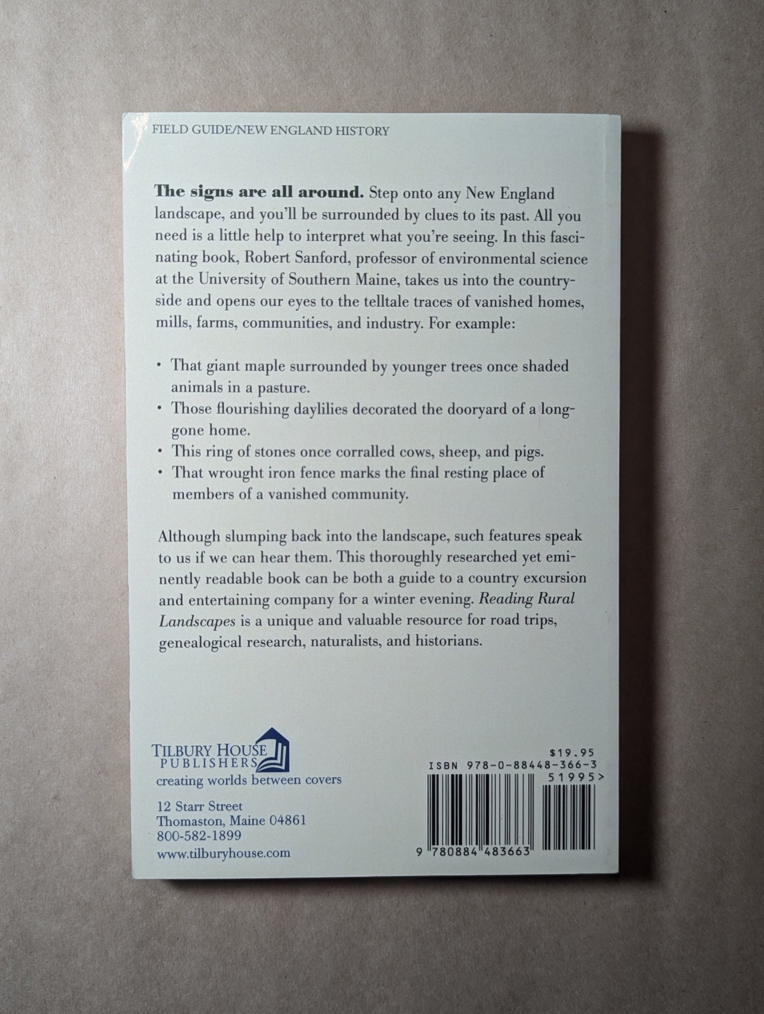
Reading Rural Landscapes by Robert Sanford PXL_20240919_133503982.PORTRAIT.ORIGINAL.jpg PXL_20240919_133520966.PORTRAIT.ORIGINAL.jpg
Reading Rural Landscapes by Robert Sanford
$20.00
PXL_20250501_130120672.jpg PXL_20250501_130120672.jpg PXL_20250501_130120672.jpg PXL_20250501_130120672.jpg PXL_20250501_130120672.jpg PXL_20250501_130120672.jpg PXL_20250501_130120672.jpg
Colliers World Atlas and Gazeteer, 1947
$80.00
PXL_20240919_133356954.PORTRAIT.ORIGINAL.jpg PXL_20240919_133356954.PORTRAIT.ORIGINAL.jpg PXL_20240919_133356954.PORTRAIT.ORIGINAL.jpg
Quiet Water: Massachusetts, Connecticut, Rhode Island
$27.00

Rate us on Trip Advisor

©2024 Middleton Geographics LLC, all rights reserved

Support The Map Center