Skip to Content
The Map Center
The Map Center
Classes
Map Center Store
About
Contact Us
Services
Programs
Cartographers
FAQs
Projects
Press
State of the Map Store
About the Logo
Login Account
0
0
The Map Center
The Map Center
Classes
Map Center Store
About
Contact Us
Services
Programs
Cartographers
FAQs
Projects
Press
State of the Map Store
About the Logo
Login Account
0
0
Classes
Map Center Store
Folder: About
Back
Contact Us
Services
Programs
Cartographers
FAQs
Projects
Press
State of the Map Store
About the Logo
Login Account
Map Center Store Presidential Mountain Range by Andy Woodruff
whitemountains_woodruff_lowres.png Image 1 of
whitemountains_woodruff_lowres.png

Presidential Mountain Range by Andy Woodruff

from $32.00

There’s something amazing that happens when you see a place that you know and love in a radically new way. What cartographer Andy Woodruff has done here for the topography of the Presidential Range in the White Mountains of New Hampshire is visualizing the fall line down the slopes in these elegant, feathery visualizations.

Each poster is printed on weatherproof latex ink in a soft satin finish.

Size:
Quantity:
Add To Cart

There’s something amazing that happens when you see a place that you know and love in a radically new way. What cartographer Andy Woodruff has done here for the topography of the Presidential Range in the White Mountains of New Hampshire is visualizing the fall line down the slopes in these elegant, feathery visualizations.

Each poster is printed on weatherproof latex ink in a soft satin finish.


You Might Also Like

Whiskey Distilleries of Ireland
from $40.00
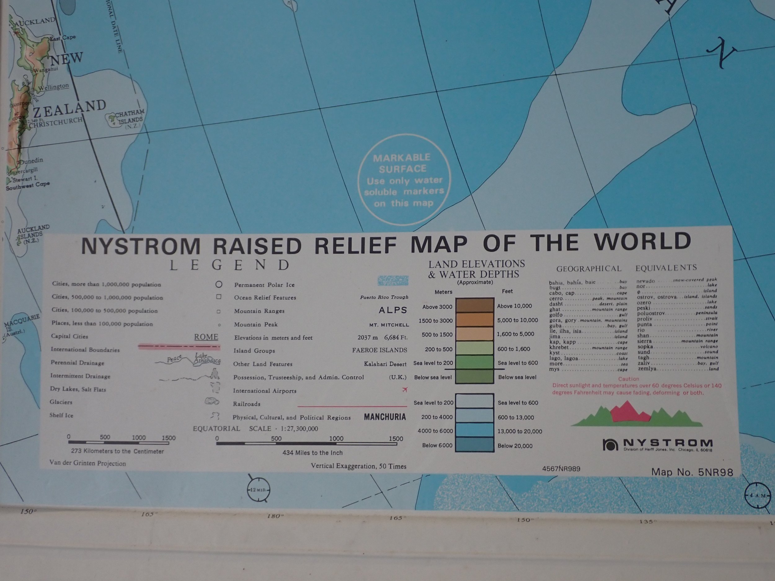
MASSIVE Relief Map 62"x43" P4220014.JPG P4220017.JPG P4220019.JPG
MASSIVE Relief Map 62"x43"
$250.00
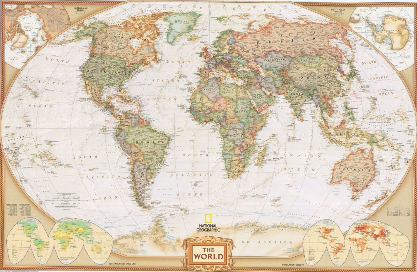
World Map by National Geographic
from $30.00
Southern New England
$25.00
Cherry Trees of Washington DC by Dylan Moriarty PXL_20250527_190544904.jpg PXL_20250527_190627954.jpg
Cherry Trees of Washington DC by Dylan Moriarty
from $60.00

Rate us on Trip Advisor

©2024 Middleton Geographics LLC, all rights reserved

Support The Map Center