
Southern New England
$25.00
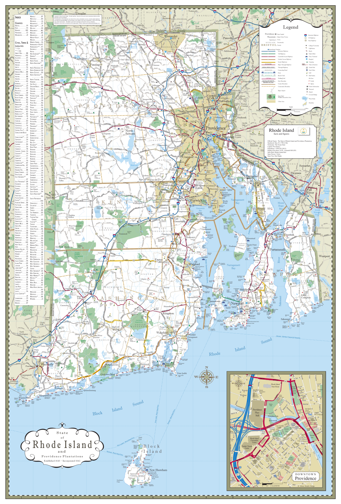
A surprisingly elegant map of southern New England in full color with towns, cities, counties and state boundaries.
25”x30”
A surprisingly elegant map of southern New England in full color with towns, cities, counties and state boundaries.
25”x30”
A surprisingly elegant map of southern New England in full color with towns, cities, counties and state boundaries.
25”x30”