Upcoming Events
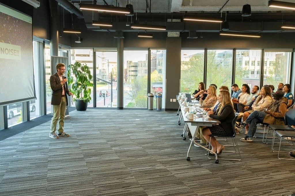
In the last year, I’ve drawn crowds at Puchakucha Providence, DesignxRI, the New England Museum Association and the RISD Art Museum. People keep asking me if I do birthday parties or talks and I’m here to say, emphatically, YES!
Some of my stronger subjects include: mapping and social justice, ethics in digital cartography, marine mapping and citizen science.
How Maps Lie
January 13 6:30PM
Falmouth Public Library, Falmouth MAHow Maps Lie
February 5, 6PM
Paul Pratt Memorial Library, Cohasset MAHow Maps Lie
February 12, 6:30PM
Jacob Edwards Library, Southbridge MAGIS Week
February 16-18
Denver COHow Maps Lie
March 10, 6PM
Storrs Library, Longmeadow MA
How Maps Lie
March 12, 7PM
Morrill Memorial Library, Norwood MA
Walden for Hire
March 19, 7PM
Symposium Books, Providence RIA Map for a Rhode Island Revolution
May 20, 6PM
South Kingstown Public LibraryMoving Party
May 26, 5PM
545 Pawtucket Ave, Pawtucket RIHow Maps Lie
June 12, 12PM
Yale University, New Haven CTMap for a Cat
July 28, 6PM
Milbury Public Library, Milbury MAMapping the Language of Fishermen in Narragansett Bay with Amanda Gilmore
July 29, 7PM
The Map CenterBikepacking Canada with Robert Isenberg
August 5, 7PM
The Map CenterRevolutionary Maps
September 15, 6:30PM
Plymouth Public Library, Plymouth MANACIS
October 21-24
Milwaukee, WI
Programs

How Maps Lie
This is a fun and informative talk on how maps tell all sorts of stories. Learn how historical and contemporary maps are designed to convey information, and how they have been designed to present particular narratives. Andrew will also tell the story of how he became the owner of the oldest map store in New England.
All ages but particularly fun for 12+
Geographic Information Systems
GIS is not the name of any particular software but a branch of data science that seeks to answer questions with a ‘where?’ Emergency planning, property line delineation, demographics, city planning, statistical prediction and more are all possible even with free software.
QGIS, ArcGISPro, LiDAR processing, webmapping, cartography and photogrammetry.
Classes available in person or online. Must have access to a computer with at least 16gb of RAM. Ages 14+ with some computer literacy.

A Map for a Cat
How can a map look any other way? Isn’t that just how the world looks like? When we design anything, we try to anticipate how our creations are going to get used by other people and we make assumptions about who our audience is. Join a real, live cartographer in a map making activity that will make you rethink how you see the world.
Other workshops include navigation with a magnetic compass, make a custom globe, make a spray paint map on a t-shirt.
All ages but particularly fun for 10+

“My kids loved the experience and I did too. With the kids and parents, [Andrew was] engaging, flexible, and had excellent classroom management (former public school teacher here) all with a healthy and appreciated dose of dry humor.”
School Visits
Andrew is a real, live, actual cartographer so when he goes on the road, he brings the maps, the stories and enthusiasm. These visits are an excellent complement to class discussions of science, history, art and local heritage. Guaranteed to engage students.
“What counts as a map?” “Who uses maps?” “How do you make a map from scratch?” “Which is the most accurate map?”
Ages 10 and above.

“Andrew visited our school to teach our 5th graders about the tools and methods of early mapmaking, and he absolutely knocked it out of the park! He brought a variety of hands-on props to make the learning engaging and concrete, including a laser pointer, a homemade mariner’s quadrant, an antique sextant, and compasses. Andrew thoughtfully connected his lesson on triangulation to our study of 15th- and 16th-century explorers, which helped students see the real-world application of what they’ve been learning in class. He also posed thoughtful, open-ended questions about what maps can tell us about the people who created them, encouraging students to think critically about perspective, purpose, and bias.
Andrew’s presence and humor immediately engaged our students, and his enthusiasm was contagious. He struck the perfect balance between expertise and accessibility, keeping students curious, focused, and eager to ask questions. This was a memorable, meaningful learning experience, and we would enthusiastically recommend Andrew to any school looking to bring history and geography to life. Thank you, Andrew! ”