The gold standard in travel maps for the United States, these durable road maps should come standard in every car sold in the USA. Excellent for emergencies or the kinds of destinations where cell signal is unreliable.
All atlases are bound with a sturdy spiral binding, a thick and durable glossy waterproof cover and uncoated paper pages that take whatever pencil or pen notes you care to jot down along the way.
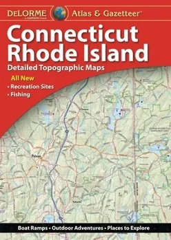
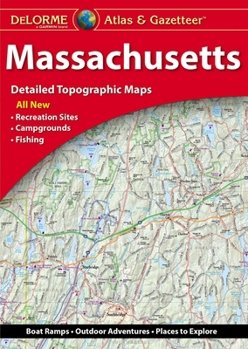
Easy to Read: A smaller guide in a compact format that assigns each state two (sometimes three) full pages. It’s an excellent overview without so much detail that you’re likely to get overwhelmed. There are some city inset maps with a bit more detail but these are not intended to get you door-to-door directions. Includes zoomed out national roadway maps of Canada and Mexico.
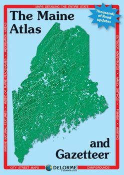
Large Scale: This is a big ol’ atlas at 10”x15”. Its maps are 35% larger than the traditional US atlases (that I don’t even stock anymore because they are so detailed they’re hard to read). Perfect for those of us who have a pair of glasses for driving and a pair for reading (that we will absolutely leave at home). Includes Canada with a high degree of detail and Mexico a bit less so.
National Parks: This large atlas is also at the 10”x15” size and is functionally very similar to the Large Scale atlas above but it also includes two pages for every National Park in the US with points of interest, travel tips and context. Includes Canada and Mexico.
The gold standard in travel maps for the United States, these durable road maps should come standard in every car sold in the USA. Excellent for emergencies or the kinds of destinations where cell signal is unreliable.
All atlases are bound with a sturdy spiral binding, a thick and durable glossy waterproof cover and uncoated paper pages that take whatever pencil or pen notes you care to jot down along the way.
Easy to Read: A smaller guide in a compact format that assigns each state two (sometimes three) full pages. It’s an excellent overview without so much detail that you’re likely to get overwhelmed. There are some city inset maps with a bit more detail but these are not intended to get you door-to-door directions. Includes zoomed out national roadway maps of Canada and Mexico.
Large Scale: This is a big ol’ atlas at 10”x15”. Its maps are 35% larger than the traditional US atlases (that I don’t even stock anymore because they are so detailed they’re hard to read). Perfect for those of us who have a pair of glasses for driving and a pair for reading (that we will absolutely leave at home). Includes Canada with a high degree of detail and Mexico a bit less so.
National Parks: This large atlas is also at the 10”x15” size and is functionally very similar to the Large Scale atlas above but it also includes two pages for every National Park in the US with points of interest, travel tips and context. Includes Canada and Mexico.
 Image 1 of 8
 Image 2 of 8
 Image 3 of 8
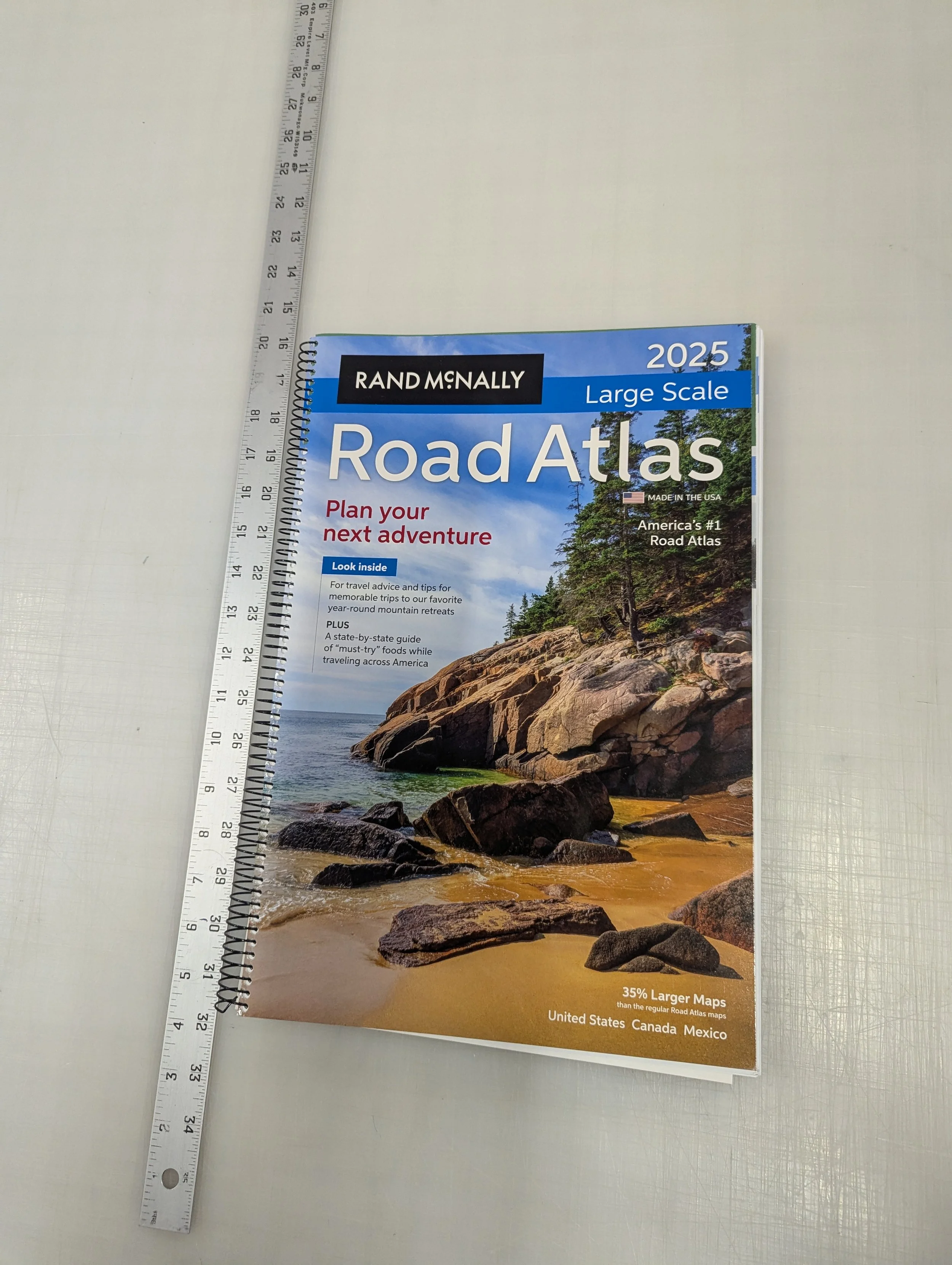 Image 4 of 8
 Image 5 of 8
 Image 6 of 8
 Image 7 of 8
 Image 8 of 8