 Image 1 of 2
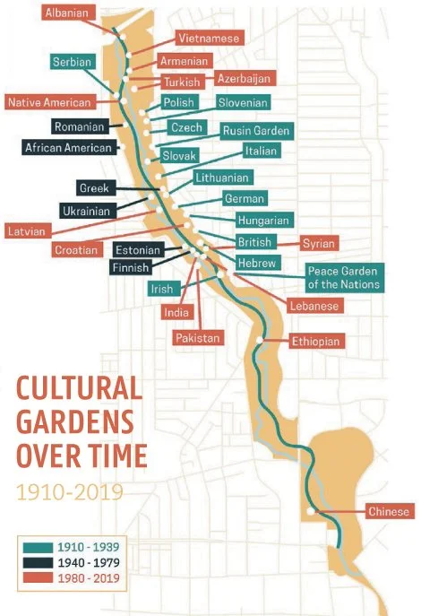 Image 2 of 2
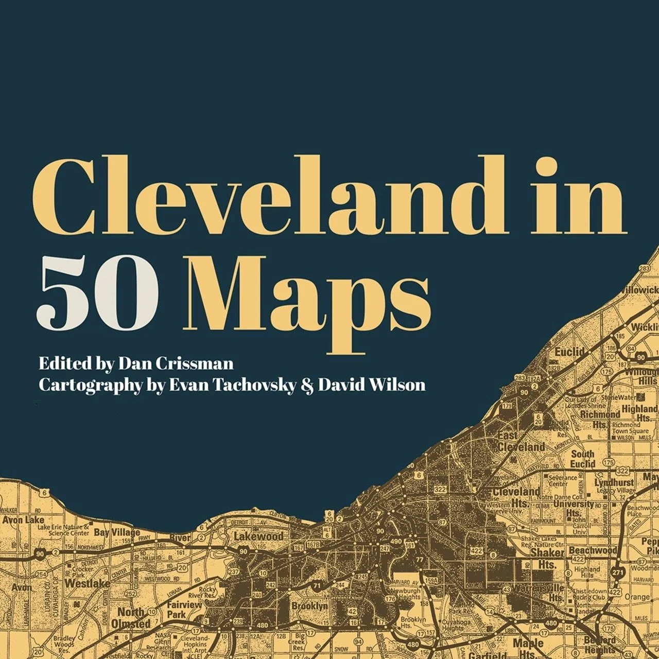
Open Cleveland In 50 Maps to find way more than directions. Edited by Dan Crissman with cartography by David Wilson and Evan Tachovsky, Belt Publishing’s latest release charts the city from all angles, mapping everything from which high schools produced the most NFL players, to the locations of breweries past and present, to a series outlining the socioeconomic consequences of racist redlining.
“We think of maps as things that are a government response. They’re these serious things,” says data scientist Tachovsky, a Bedford native. “But what makes up a map is people’s experience in that city. You can’t leave out what has made the place unique over the years.”
Open Cleveland In 50 Maps to find way more than directions. Edited by Dan Crissman with cartography by David Wilson and Evan Tachovsky, Belt Publishing’s latest release charts the city from all angles, mapping everything from which high schools produced the most NFL players, to the locations of breweries past and present, to a series outlining the socioeconomic consequences of racist redlining.
“We think of maps as things that are a government response. They’re these serious things,” says data scientist Tachovsky, a Bedford native. “But what makes up a map is people’s experience in that city. You can’t leave out what has made the place unique over the years.”