Image 1 of 3
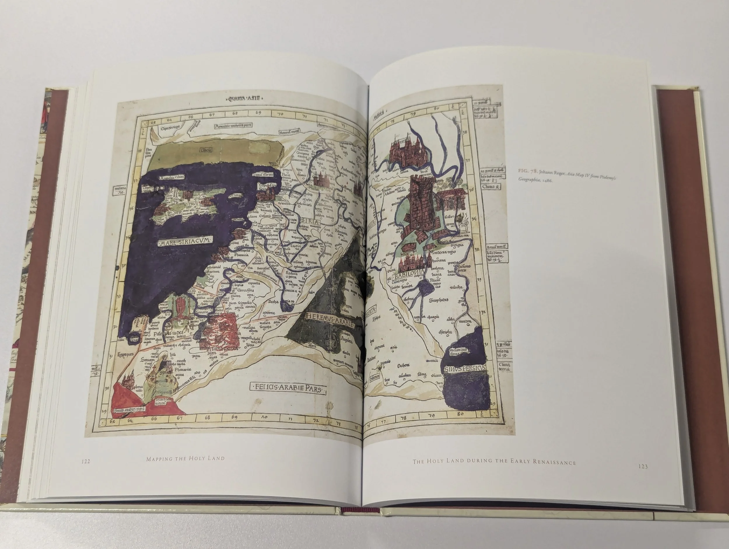 Image 2 of 3
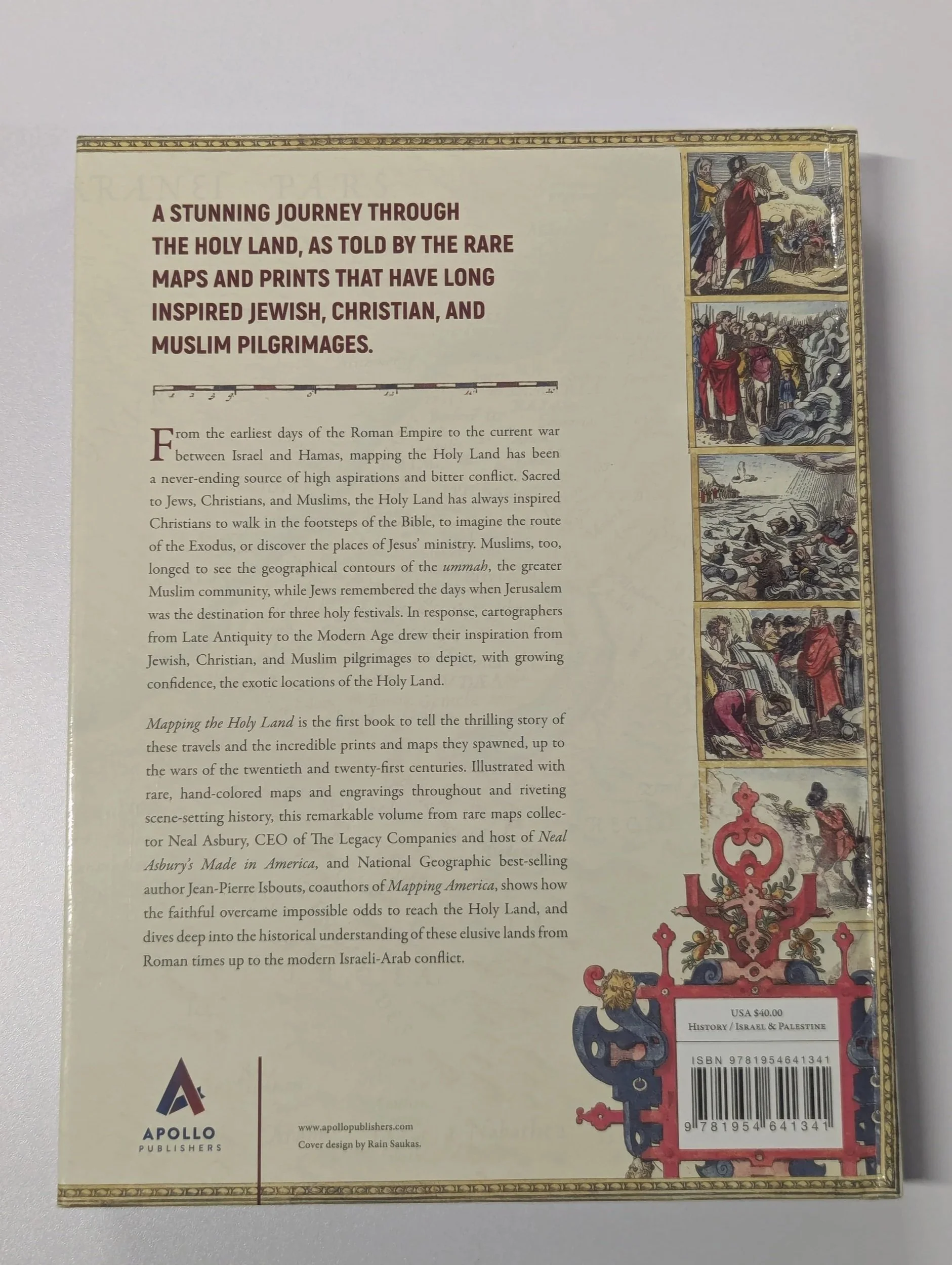 Image 3 of 3
From the earliest days of the Roman Empire to the current war between Israel and Hamas, mapping the Holy Land has been a never-ending source of high aspirations and bitter conflict. Sacred to Jews, Christians, and Muslims, the Holy Land has always inspired Christians to walk in the footsteps of the Bible, to imagine the route of the Exodus, or discover the places of Jesus’ ministry. Muslims, too, longed to see the geographical contours of the ummah, the greater Muslim community, while Jews remembered the days when Jerusalem was the destination for three holy festivals. In response, cartographers from Late Antiquity to the Modern Age drew their inspiration from Jewish, Christian, and Muslim pilgrimages to depict, with growing confidence, the exotic locations of the Holy Land.
From the earliest days of the Roman Empire to the current war between Israel and Hamas, mapping the Holy Land has been a never-ending source of high aspirations and bitter conflict. Sacred to Jews, Christians, and Muslims, the Holy Land has always inspired Christians to walk in the footsteps of the Bible, to imagine the route of the Exodus, or discover the places of Jesus’ ministry. Muslims, too, longed to see the geographical contours of the ummah, the greater Muslim community, while Jews remembered the days when Jerusalem was the destination for three holy festivals. In response, cartographers from Late Antiquity to the Modern Age drew their inspiration from Jewish, Christian, and Muslim pilgrimages to depict, with growing confidence, the exotic locations of the Holy Land.