 Image 1 of 1


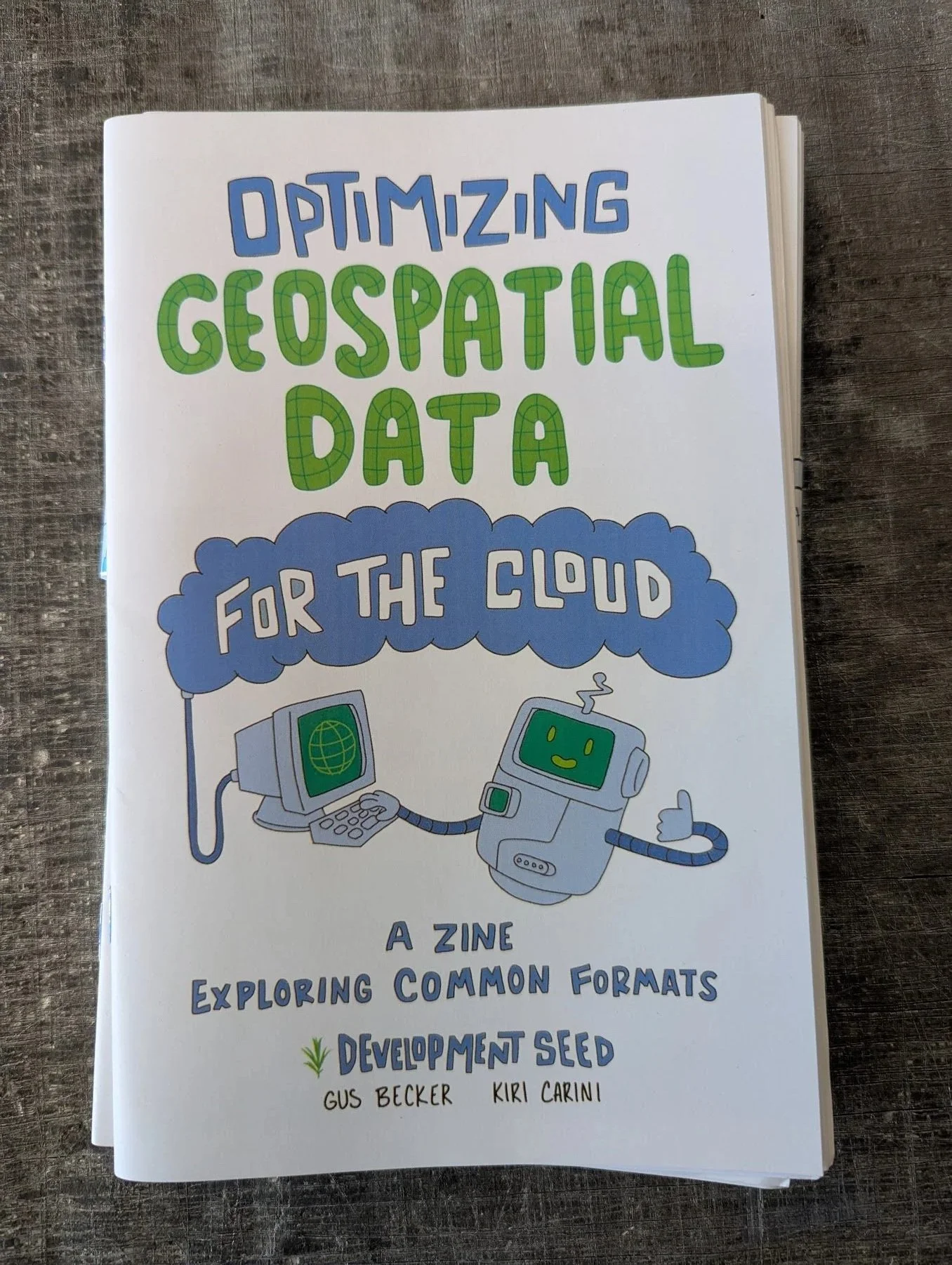
Optimizing Geospatial Data for the Cloud by Kiri Carini and Gus Becker
More documentation should be done in the form of zines! With raccoons! We as geospatial professionals know that you have to be learning and levelling up all the time. It’s the nature of the profession. But that doesn’t mean that we have to read boring, forgettable technical specs! Let a curious astronaut raccoon named Vector teach you about cloud optimized data formats that you can use in remote sensing!
Learn about Cloud Optimized GeoTIFF, Cloud Optimized Point Cloud, ZARR Stores and GeoParquet


