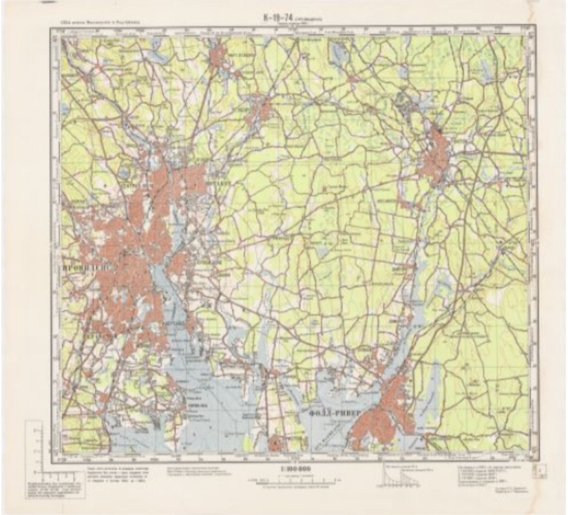
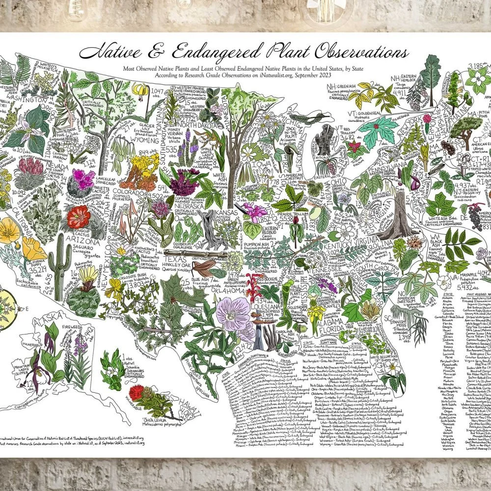
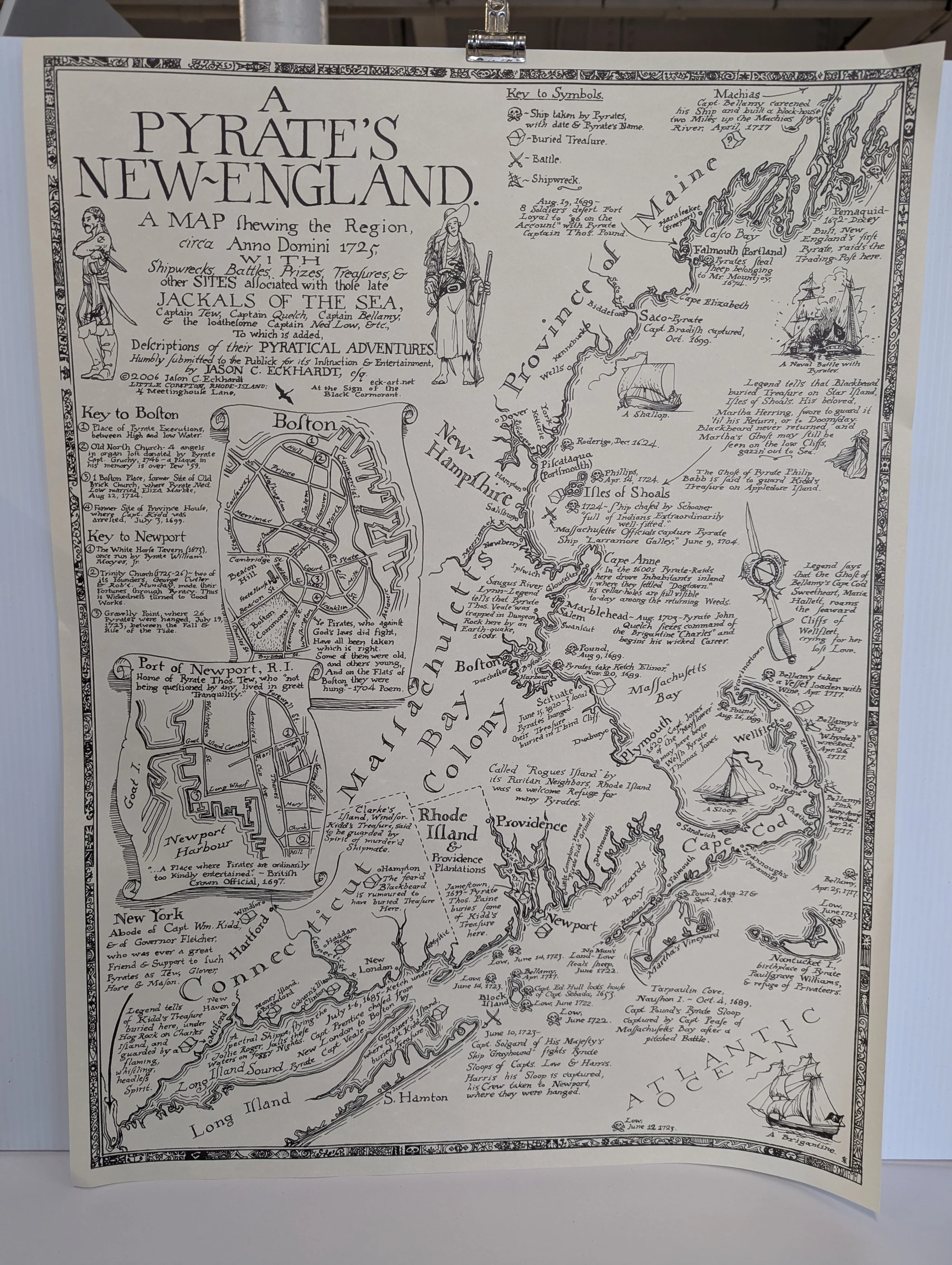
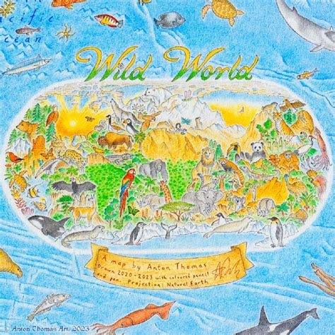
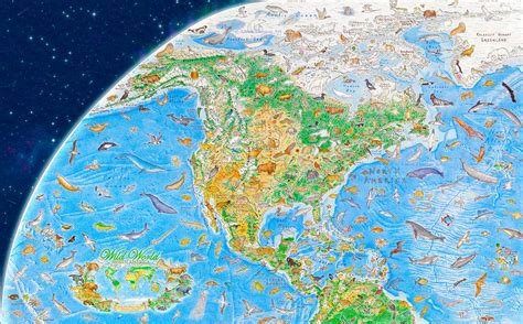
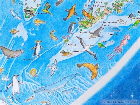
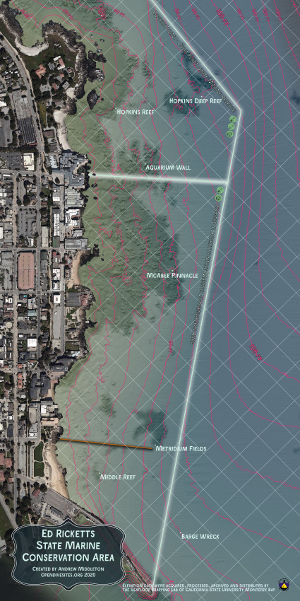
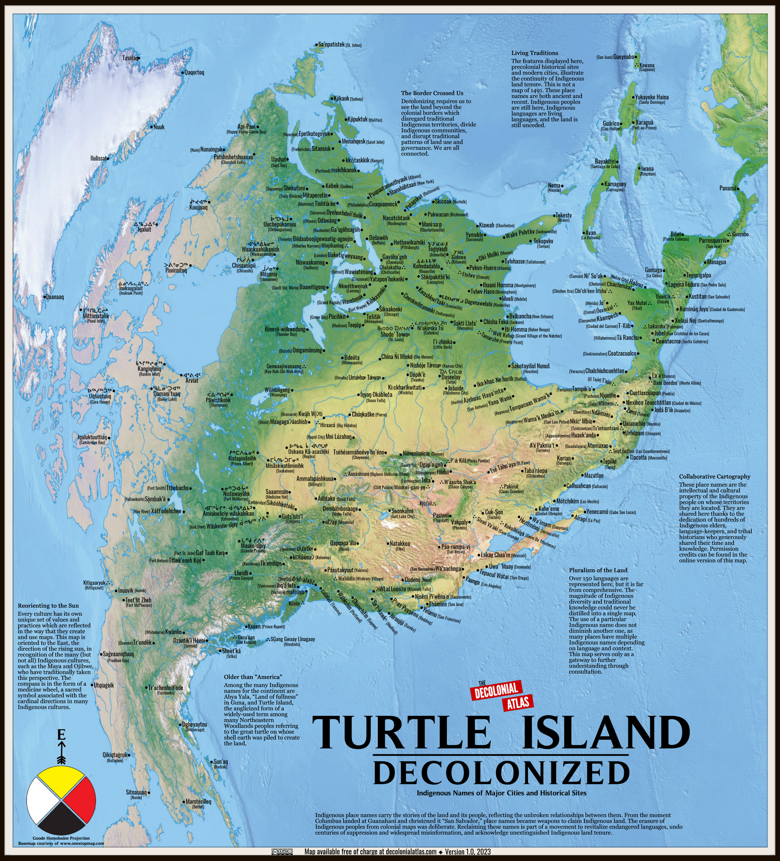
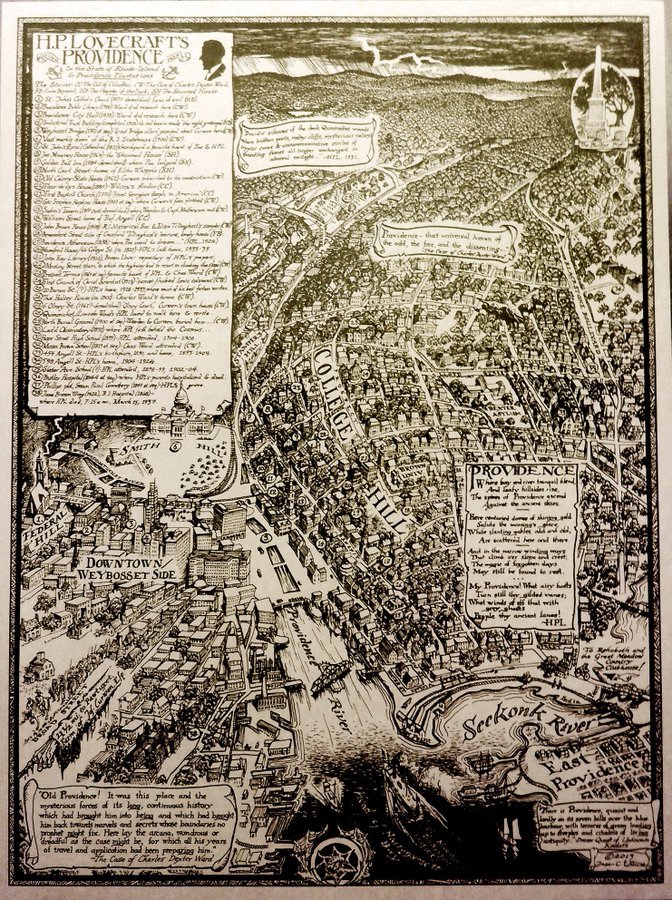
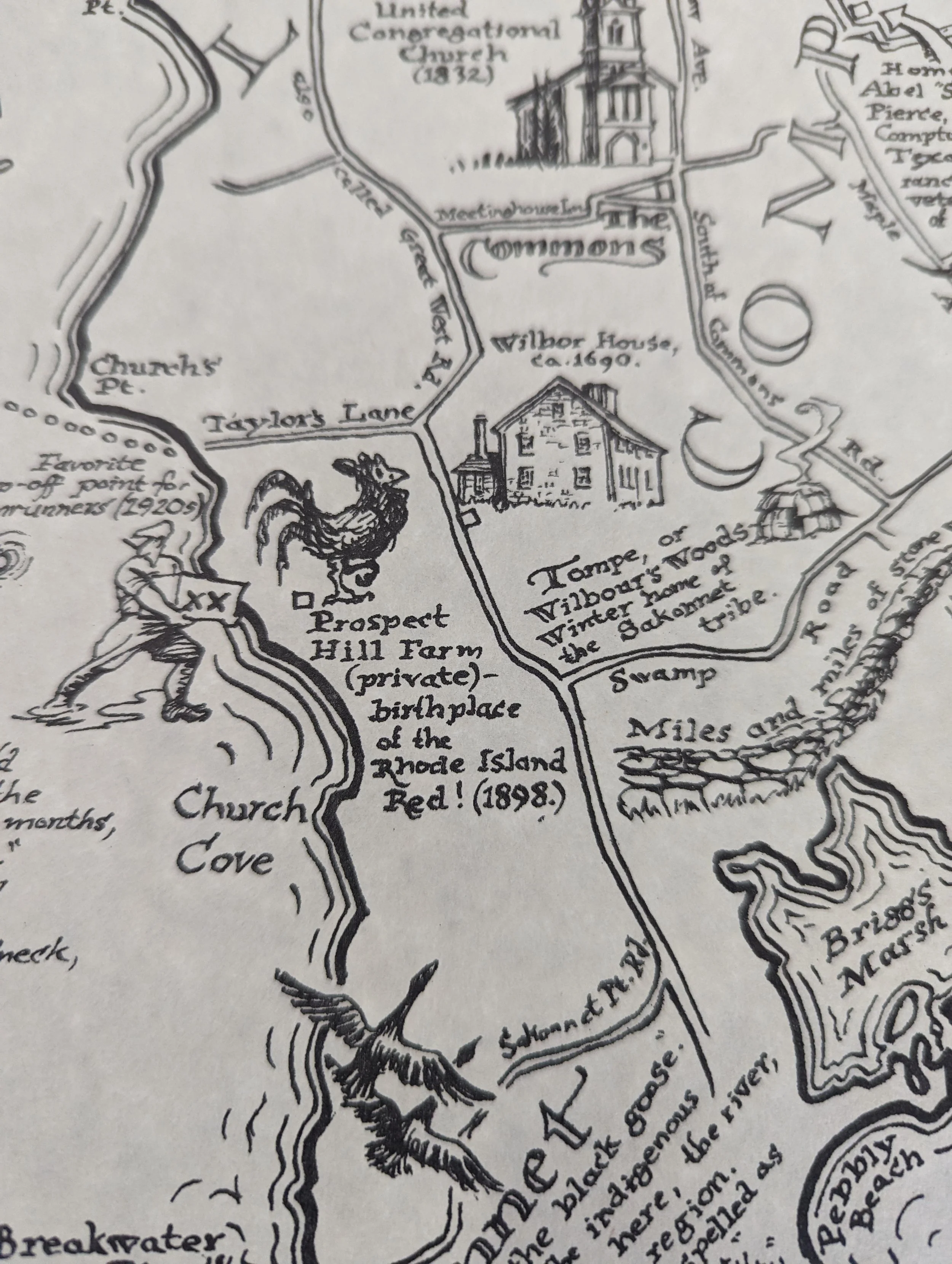
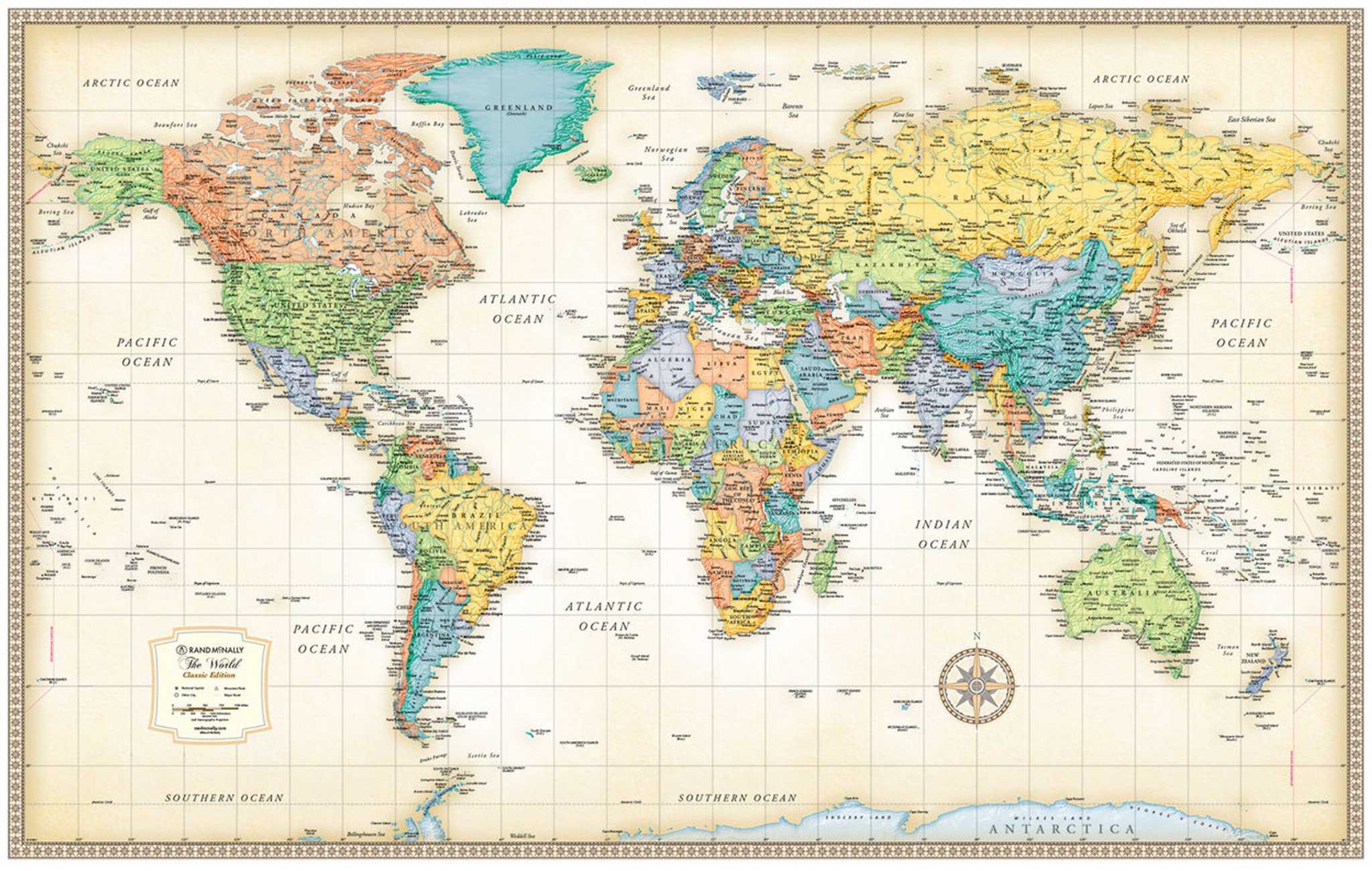
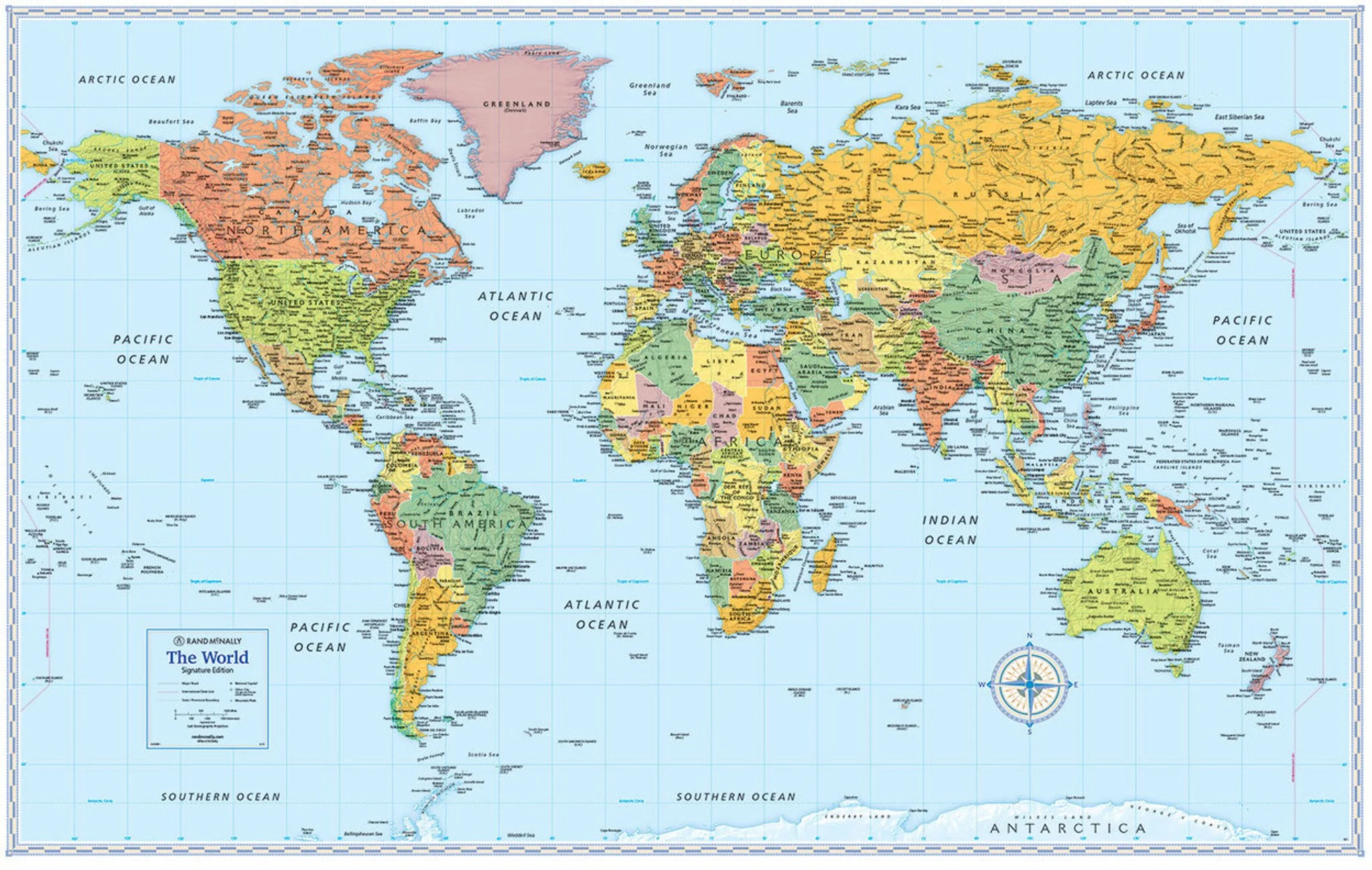
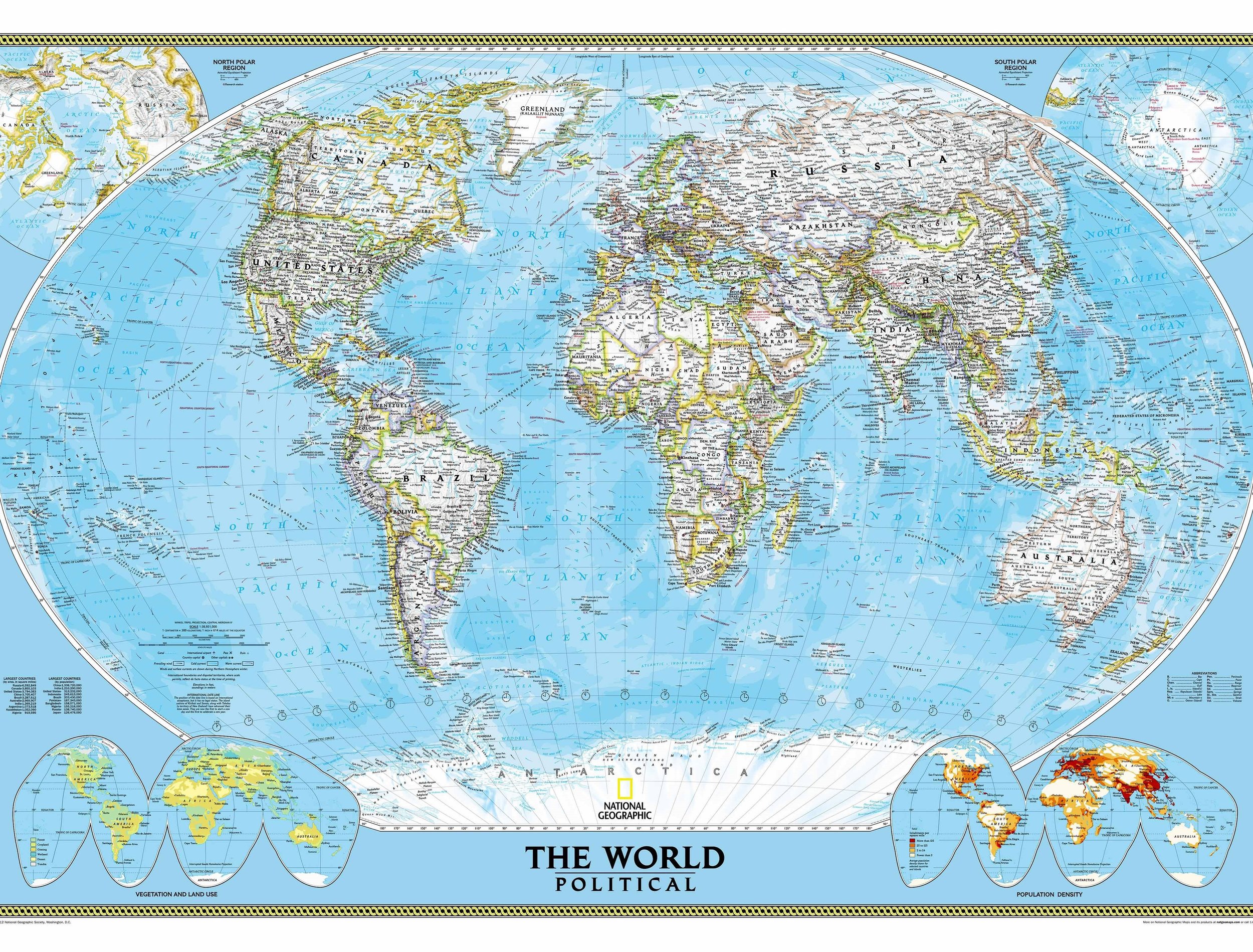
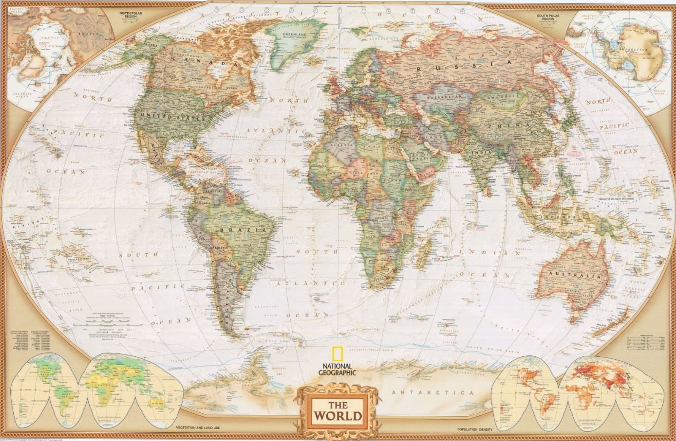
I usually think of geologists as people who wear clashing plaid and cellphone holsters on their belts. So how is it that geologists consistently have the most beautiful graphic design of any field of science?
Massachusetts has a fascinating natural history and the folding, mountain building and glaciation is reflected in the beautiful, bold colors and patterns on this attractive map.
Equal parts history and modern art, this gorgeous map of Prudence Island will keep you gazing at the shining hidden gem at the heart of Narragansett Bay.
24”x36”
Antonio Antoine is a freelance cartographer based in Knoxville, TN. He spent most of his 20-year career as a GIS/CAD Technician creating technical maps and figures for engineers and scientists. His primary cartographic focus is on creating large-scale, large-format maps of communities in the United States.
This incredibly detailed map was drawn by hand by Matthew Shaffer in December 2023. It’s brand new and has incredible details of this lovely little city.
Available for framing in either a plastic pane at $160 or a stately glass pane for $220, pick up only. Call for details.
Ships rolled in a tube.
24”x36”
Each map is signed, numbered and dated. This is a limited release!
Read more about Dylan Moriarty on his page here.
Maps are a labor of love and sometimes they take years of research and drawing by hand to create. There are few better examples of the craft and dedication of modern cartography than Anton Thomas' epic Wild World which features 1,642 hand drawn and exquisitely detailed animals representing the incredible biodiversity that we share our planet with.
See his profile in The New York Times here.
Small: 30 x 16”
Medium: 39 × 21”
Large: 50 x 27"
There’s something amazing that happens when you see a place that you know and love in a radically new way. What cartographer Andy Woodruff has done here for the topography of the Presidential Range in the White Mountains of New Hampshire is visualizing the fall line down the slopes in these elegant, feathery visualizations.
Each poster is printed on weatherproof latex ink in a soft satin finish.
In case there was ever a doubt in your mind that Rhode Island is a cultural capitol for creative nerds, look no further than homegrown startup Traintrackr making WiFi enabled light up maps that show you what’s going on in your favorite commuter rail systems in real time! Whether you are a commuter who wants to know exactly when you need to get out the door or a nostalgic transplant who longs for the tubes of yesteryear and is comforted knowing that they still run without you, this glowing addition to your home will entertain, enthrall and may even help you get wherever you’re headed next.
Each map comes on a funky circuit board with a laser-cut wooden stand, a USB-C power cord and instructions for connected your map to your preferred WiFi network. Your map will be glowing informatively in about 5 minutes.
This beautiful wall poster of Cannery Row diving in Monterey California shows the terrain of the sea floor in incredible detail.
100 yard scale grid shows magnetic north, Marine Protected Areas, beach entries, landmarks and streets from the Monterey Bay Aquarium to San Carlos Beach.
Playful, provocative and oddly informative. This map is from the acclaimed Infinite Cities series written and compiled by Rebecca Solnit and illustrated with incredible maps by creative collaborators.
Dimensions: 24”x17”
This map takes a little explanation. Software developer Erica Fischer made this series of maps in 2010 by downloading the metadata related to photographs shared to the (then) popular photo website Flickr. If a photograph was taken more than 10 miles away from where the account was created, it was considered a tourist photograph and symbolized in red whereas photographs taken within 10 miles of the account creation were considered locals in blue. It’s a minimalist map with a ton of information. Look for Fenway Park, Cambridge and the Met. Also available for most every city on Earth.
Despite assertions that whisky was invented by a little old lady in Leningrad, modern connoisseurs know that Scotland is where the good stuff is from and with this map you can find out exactly where. Flavor profiles are affected by factors like peatiness and floral notes and those flavors are inextricably linked to the land where it its ingredients are grown.
This is a heavy, glossy print with exceptional image quality that will make you press your nose up against the paper to see every tiny detail in the terrain.
By Markku Ylisirniö of VeryGoodMaps
Large: 24”x36”
Small: 18”×27”
This big, beautiful, glossy print of The Emerald Isle will have you thirsting for adventure in one of the world’s most delightful places to imbibe. An excellent Father’s Day gift if I ever saw one- maybe pair it with a bottle?
By Markku Ylisirniö of VeryGoodMaps
Large: 24”x36”
Small: 18”x27”
Every map instantly creates two types of people: those who make the maps and those that are mapped. Every map represents a world view and a perspective and I’m so delighted to offer this piece that shows the world in a way unfamiliar to most Americans with place names in their Indigenous toponyms. It is a beautiful and thought provoking piece priced to be accessible to educators.
The Decolonial Atlas produces this map and their logo features prominently. The price of this print is reflective of the production cost only and we offer this design for printing because it’s a beautiful idea that should be more common than it is.
19”x21”
My favorite maps are like these: bright, beautiful and slightly creepy and perfect for kids while also have so much exhaustive research that they will keep adults enthralled as well. What strange and unsettling beasts roamed the territory of the imagination in your favorite part of the world?
The Puca Printhouse blog has wonderful backstories on all of the magnificent mythological monsters you see on their maps. Check them out here! https://www.pucaprinthouse.com/
What do you do when you’ve finally retired after owning a map store for more than forty years? Well, you walk around the city you love and you make some maps. Andy is a long time resident of Providence and he’s just nuts about the place. And what’s the best way to explore it? On foot and by bike and by bus! Andy’s popular 2 Buck 2 Feet series at Motif Magazine is all about how to explore the best of Rhode Island without a car and how the bus is actually the ideal way to get around this beautiful state. This flashy poster won’t guilt you or shame you into walking and burning calories, it’s going to excite you every day for the adventure and the simple joy of being a person about town in a beautiful city that is worthy of your exploration.
13”×17”
This magnificently spooky map is a tribute to a man who lived, breathed and died Providence. The map portrays not only the East Side neighborhood he called home for most of his life but also downtown and the waterfront. Residents will notice tons of local details from Providence past and present. Be ready for Necronomicon!
See also: Sakonnet River
24”x18”
All maps have information. Very few have this kind of character. A map of the Sakonnet River region brimming with history, culture and marginalia that brings the region to life.
See also: HP Lovecraft’s Providence
24”x18”
A tastefully palleted political map of the world in a sleek Robinson projection with a cheeky twist- a reminder that there is no “up” on a big ball spinning in space. Who is “up” and who is “down”? Well, everyone and no one. Reading a map like this can often feel like looking at a world map for the first time. Perfect for blowing the minds of you and your friends while also being a bit more put together than the Gall-Peters projection that goes viral every so often for being edgy and countercultural without being, you know, good. Has country and city labels.
24”x36”
This immense map has a raised, touchable surface that is a delight to at least two senses. The Himalayas come up about 3/4” and the washable polystyrene is actually marker-safe. Comes in a single piece frame ready to hang.
It appears to be from about 1995, so throw on some Blues Traveler or your favorite Bill Clinton saxophone casette tape and explore the world from a time when The Simpsons was still fresh.