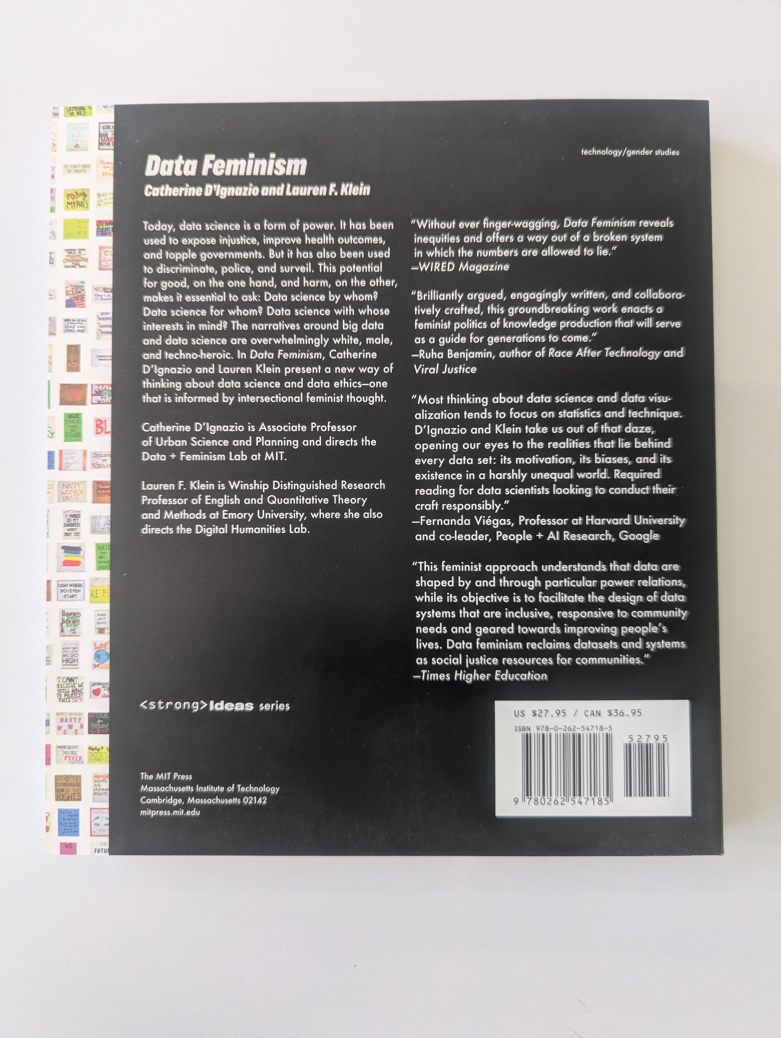
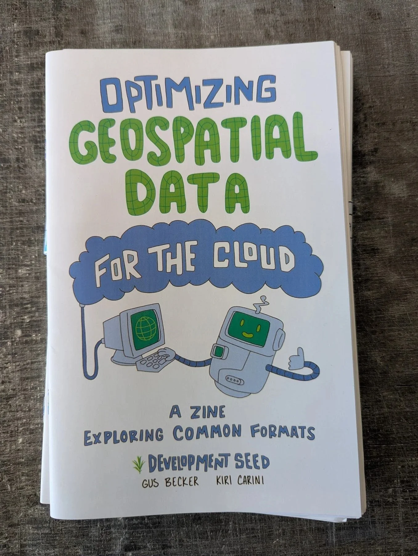
More documentation should be done in the form of zines! With raccoons! We as geospatial professionals know that you have to be learning and levelling up all the time. It’s the nature of the profession. But that doesn’t mean that we have to read boring, forgettable technical specs! Let a curious astronaut raccoon named Vector teach you about cloud optimized data formats that you can use in remote sensing!
Learn about Cloud Optimized GeoTIFF, Cloud Optimized Point Cloud, ZARR Stores and GeoParquet
RJ Andrews is, perhaps, distressingly talented. Having grown tired of NASA, he's gone on to create his own publishing house dedicated to the art of storytelling with data and these exquisitely crafted books are a pleasure to hold and flip through and they celebrate some of the most important and underrated originators of what is often thought of as a uniquely modern art.
Each book contains original texts, pull outs, full color charts and the context to explain the tremendous impacts made by these creative pioneers in the art of infographics.
This book is one of the best examples of contemporary, scholarly geography I’ve seen.
Published by Belt Publishing in 2024, Radical Atlas is a cartographic biography of a city on the ten year anniversary of the murder of Michael Brown and the riots that made this suburb of St Louis infamous. The maps explore flooding, food security, rent, incarceration, high school graduation rates, hazardous waste and historical red lining, all leading up to a modern reality filled with real, feeling human beings. For a book filled with beautiful infographics and stunning statistics, it is remarkably thoughtful and personal. It’s my go-to title for explaining the power of modern GIS to the lay public.
Kenneth Field is a cartographic rockstar and one of the best in the business today.
In mapping circles, election maps are legendary. Not just because they get lots of press every election cycle but because the kinds of conclusions drawn from them are often quite different from what the data says. There are so many ways to visualize an election and so many stories to tell from a single (big!) data set. Every map in this book is of a US presidential election even though Kenneth is from the UK. Maybe he’s also a masochist? Probably. He’s also a big cricket fan.
Making maps is much easier than making pretty maps. Efficient maps. Memorable maps. Using the most powerful opensource desktop GIS software, you can make powerful graphics that tell the stories you need to tell. Gretchen Peterson and Anita Graser are the most trusted names in QGIS design and they’ve been making invaluable contributions to the mapping community for years. There’s no one better to walk you through click by click how to make your cartography come alive.
Are you a GIS professional who learned ArcMap or ArcGISPro in college and now you’re trying to get better in the field without dropping an insane amount of money on an annual license now that your student license expired? Well, it’s the perfect time to learn the free open source alternative! QGIS is just about as powerful as ArcGISPro and all it takes is a bit of practice and exploration to navigate. Kurt Menke will take you through it all, step by step.